Our Trail Spotlight highlights day trips to multi-day hikes across Idaho. Trail conditions can change quickly- swollen rivers can become impassable, windstorms can knock trees down across trails, and snow can come earlier than expected. Please take these recommendations as a jumping off place and do additional research to understand current conditions and keep yourself safe if you choose to hike this trail. Physical guidebooks and maps are always good to have or check out some online resources like Alltrails.com for updated trail reports. If your trip is as awesome as you hope it will be, please share photos and feedback!

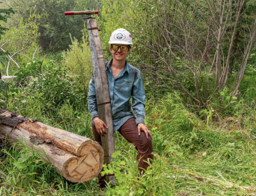
Photo by Jim Manning
Title: Coeur d’Alene River National Recreation Trail #20
Recommended by: Jim Manning, ITA Crew Leader and Advisory Board Member
Duration: Hikers have the option of a day hike, a backpacking trip, or a camp and explore
Area: Idaho Panhandle National Forest, Coeur d’Alene River District
Difficulty Rating: 3- Moderate
Road Considerations: As one gets close to the camps and farther into the trail (south to north) the roads become more difficult to transverse and high clearance vehicles are recommended. One may access the trail out of Clark Fork or by going north out of Kingston. The middle TH may be accessed out of Wallace.
Total hiking miles: 14 miles one way. Hikers may choose the trail location to begin the hike, either end or the middle.
The Hike: ITA recently completed two Trail Projects on this trail, one was centered out of Jordan Camp and the other at the north end of the Trail working east and south. The north end Crew cleared 3.5 miles of trail of brush, blowdowns and rehabilitated / widened ~800 yards of tread that runs along a contour above the river. These miles are now more easily passable and provide beautiful views and dense forest shade.
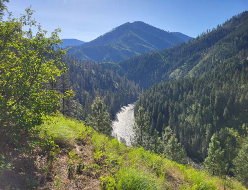
Beginning the hike at the upper trailhead is a real delight. Camping is available next to and near the river, meaning clear cool water is available to lounge in when the activity level for the day has subsided. Fishing is also available in the river and a number of close spots were spotted on out trip. Of course, river access is available at the three main camps. Usage on the trail is not heavy and so, solitude is possible while you meditate on the days hike, and the stars at night are big and bright, even if you are not in Texas.

Photo by Holly Taylor

Photo by Jim Manning
Places to camp along the way: The upper TH at Beaver Station and other close by dispersed camping areas are near the headwaters of the CDA River. Hiking ~6.6 miles along the trail gets one to Jordan Camp where there is dispersed camping and an outhouse. Another 6.6 miles south gets one to McPherson’s Camp located at the N. Fork or the CDA River Road #208.
Things to consider: Depending on the time of year the upper and middle TH’s may not be accessible due to snow. The trail stays fairly high above the river; but, does get close to it at spots. Spring melt can be an issue at the river and evidence of high water, such as a large trail washout and riparian areas make hiking in the dry season more rewarding. Sections of the trail are exposed to the sun; but this also allows great views of the rock formations and the river.
Fun places to visit on your way in or out: Our project was in the middle of July and traveling to and on the trail the Huckleberries were great!
More info about this hike: https://www.alltrails.com/trail/us/idaho/coeur-dalene-river-national-recreation-trail

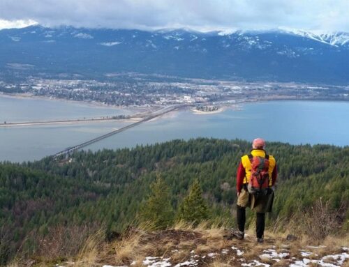
Photo by Aurora Huberty

Photo by Emilee Mitchell

Leave A Comment