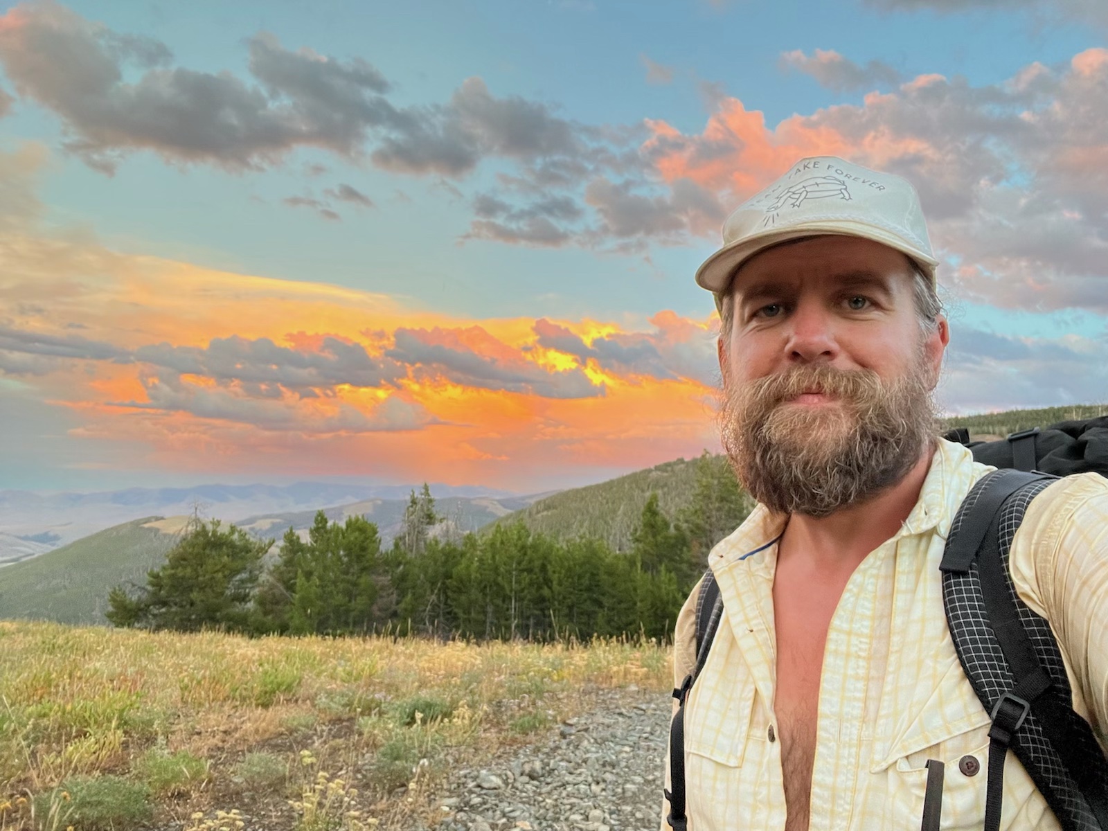
This summer, ITA crew leader and former employee Clay Jacobson will be hiking the Continental Divide Trail starting north and going south. The CDT spans over 3,000 miles from Canada to Mexico and crosses through Montana, Idaho, Wyoming, Colorado, and New Mexico. We’re happy to be following Clay along his journey and will be posting his updates from the trail! You can see all of Clay’s blog posts here.
August 20th
Salmon, ID>Leadore, ID>Lima, MT (225 miles)
Total miles so far: 841
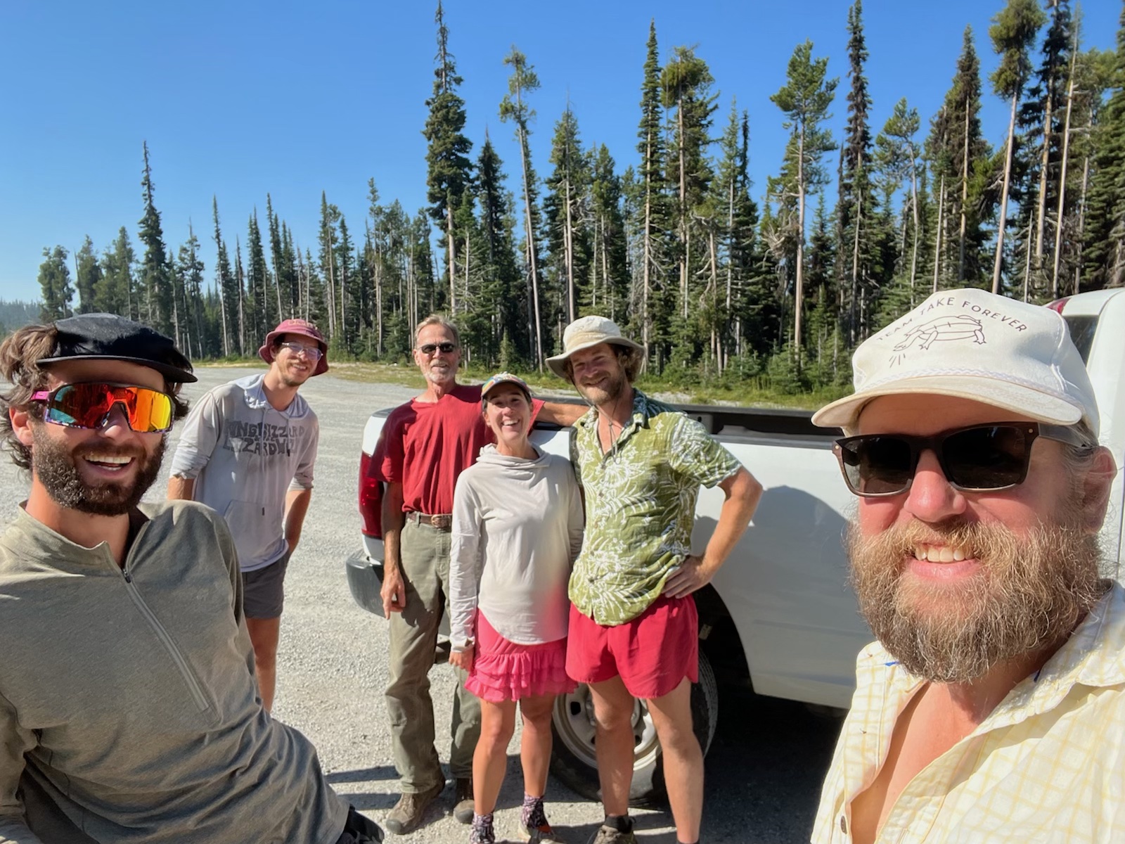
We wrapped up our stay in Salmon with a night of Shady Nook prime rib and some country karaoke, followed by some incredible breakfast pot pies at Wally’s Cafe in the morning. We returned to Chief Joseph pass, joined now by Deja, Potatoes’ partner. She had just finished the Colorado Trail and came to join us for the section. Potatoes decided that this section would be his last, and that he’d be returning to Boise with Deja from Leadore.
It was a long ridge walk into the Beaverheads, and along the way there were new sections of trail being put in by Montana Conservation Corps crews. You could see the original steep horse trails going straight up the fall line, with new beautifully graded trail contouring smoothly around towards the next saddle. There have been lots of signs of trail improvements and maintenance along the way, giving the impression that the CDTC is doing a great job in its stewardship of the Continental Divide Trail. Though the trail is often rough and rugged, it is obviously well loved. With increased interest in long-distance hiking, and a stringent permit system in effect on the PCT, the CDT is sure to continue growing and improving.
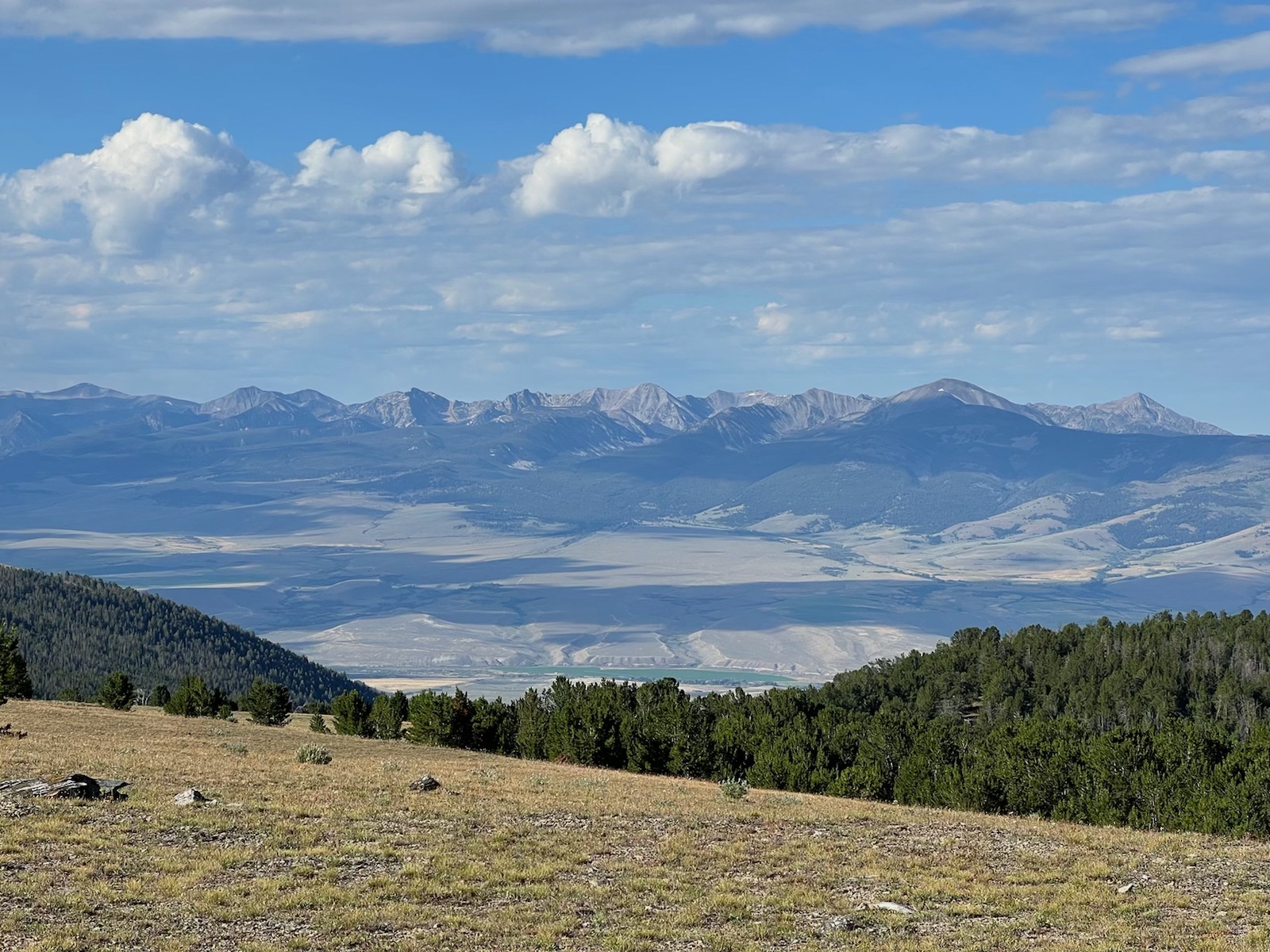
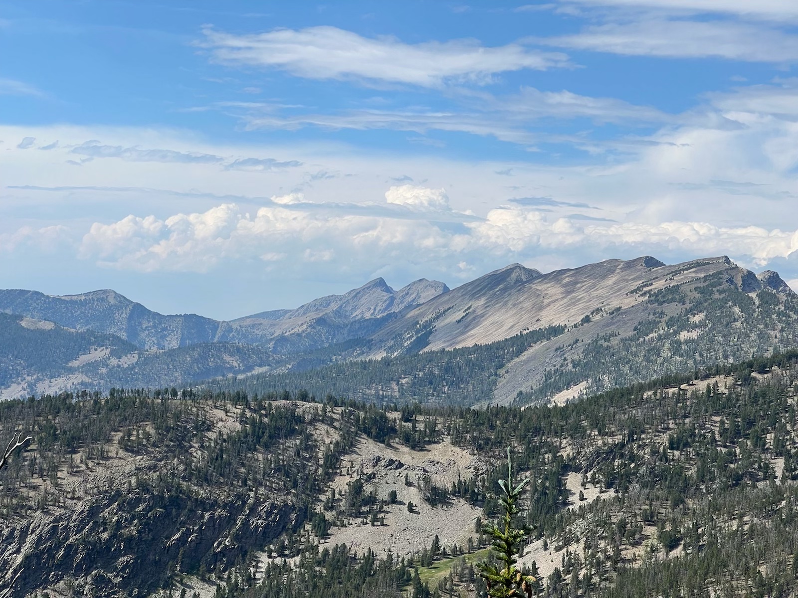
We dropped off the ridge into the Sheep Creek drainage (there must be 100’s of Sheep Creeks in the west), going down the North Fork and up the South Fork. As the trail returned to the ridge, we crossed a high pass and then doubled back onto a knife edge ridge, revealing the high peaks of the Beaverheads. The trail traverses through bowl after bowl, with the craggy peaks trailing the clouds above, expertly weaving through pass after pass without much elevation change. At this point, we started crossing the first major waves of Northbounders, sometimes seeing more than 10 a day. We camped at several lakes along the way, and one night I even threw up my tent inside the walls of an old roofless cabin.
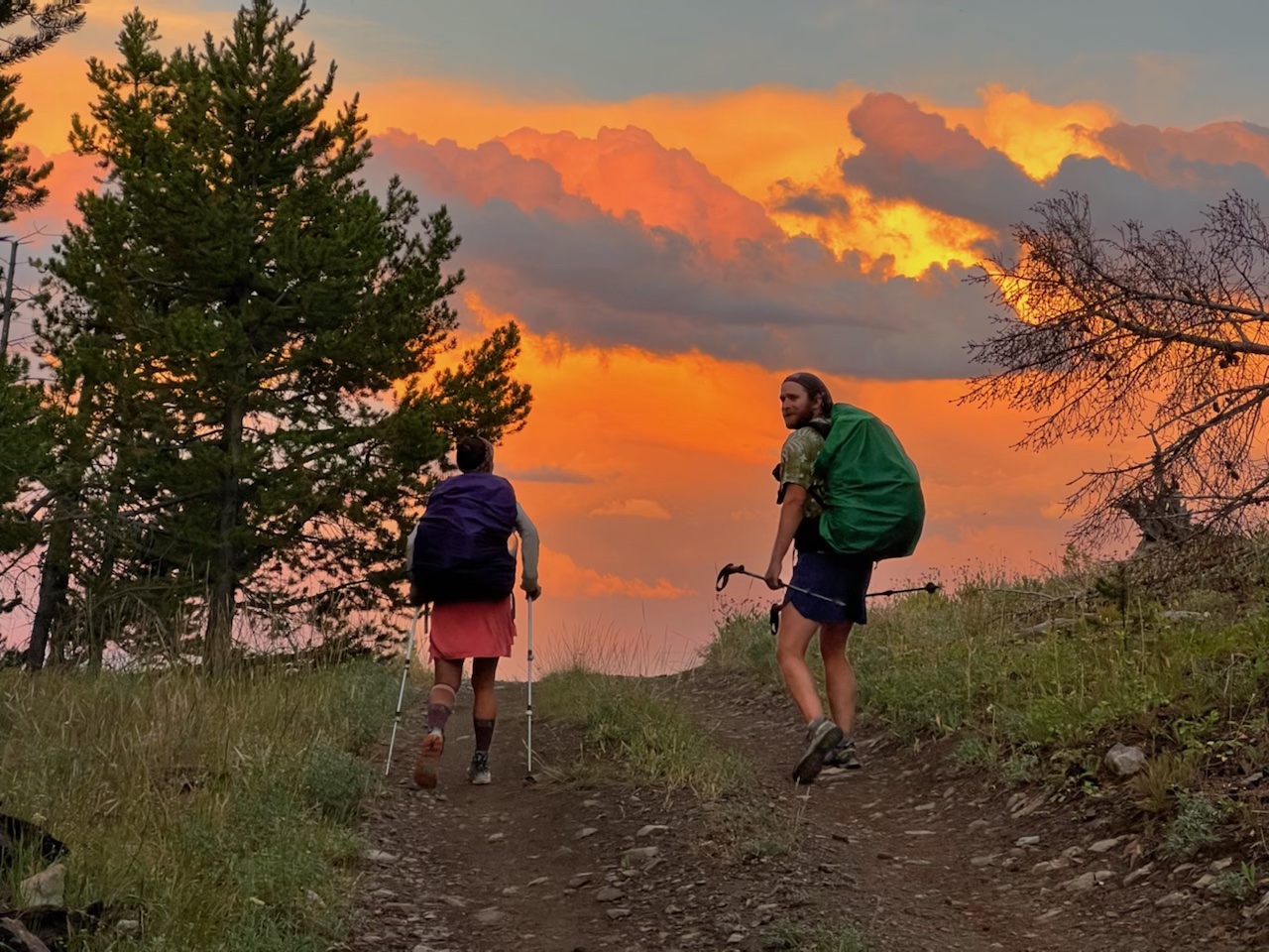
Another long ridge walk led us out of the Beaverheads and towards the small town of Leadore, ID. The last two nights of this section, evening thunderstorms rolled in on top of us. As the squalls of rain got close, we’d climb in our tents and make dinner, while the rain and hail beat down and thunder churned above. Once the storms blew over, we’d pack back up and hike for another hour or two while the sun went down. This made for some incredible hiking moments with the setting sun shining through rain, clouds, and light smoke playing in the massive empty valley between the stony peaks of the Beaverheads and the Lemhis. Hiking a high open ridge in the cool evening air, the full power of nature’s palette is on display, revealing its power and perfection on a scale beyond our comprehension.
Leadore was a sleepy little high desert town in a valley capped by tremendous and empty mountain ranges. We kept the waitresses busy ordering wave after wave of food in the only restaurant open on a Saturday. The city park had showers, Wi-Fi, and tent camping so we rested in the shade of the park’s cottonwood trees under a sky full of slow moving clouds of cotton white. In the morning we said our goodbyes to Potatoes and Deja, having hiked 700 miles with Potatoes and 125 with Deja (both ITA volunteers!). We got an evening shuttle back to the trail and started the 8 mile hike to the tree line of Elk Mountain, setting up camp at Deadman Pass.
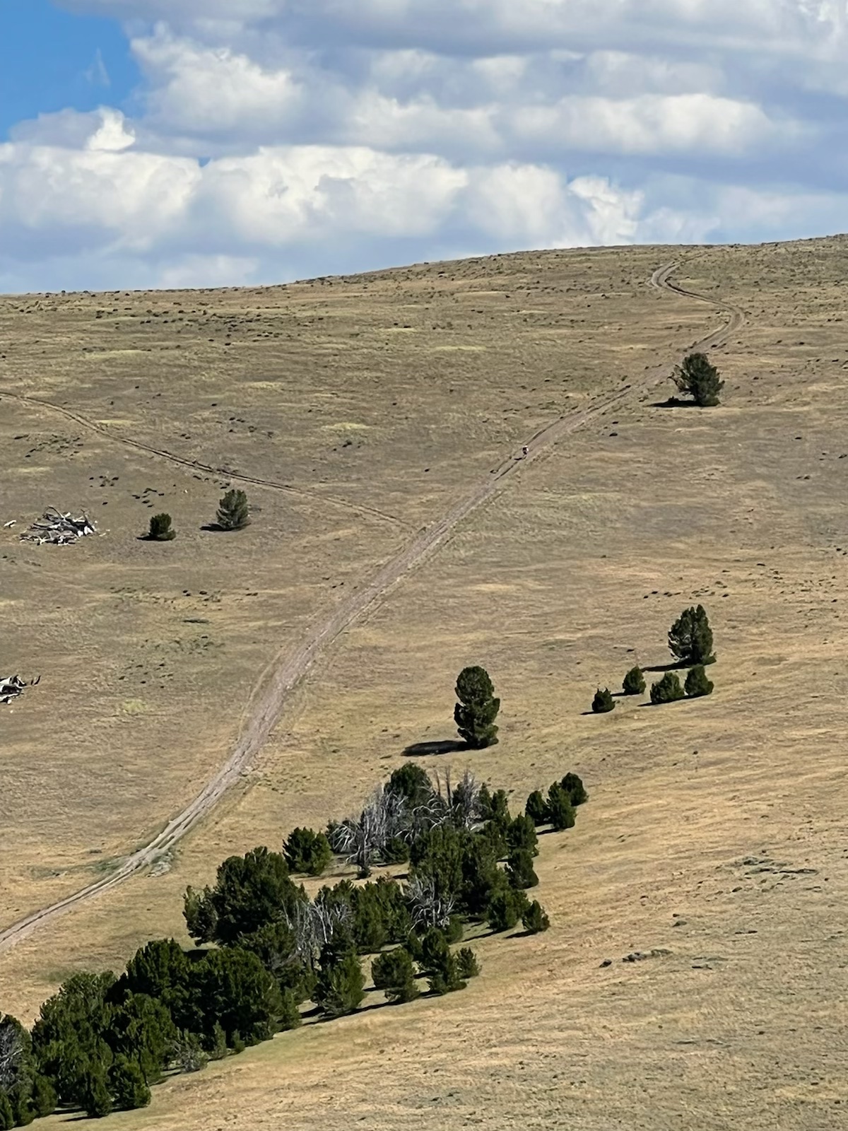
The next section would prove to be a true assault on our aching legs as we went up and over one bald round-top mountain after another, following an old two track road that stuck right to the divide. Looking at the old jeep trail ascending comically up a 1000 foot climb without a tree in sight, we’d slog up and over only to descend the other side while staring at the next climb ahead. Every time you’d think it couldn’t get any steeper, you’d immediately be proven wrong. Whoever built this road was a complete psychopath.
After 20 or 30 of these “hills” the trail dropped down into the trees, entering little pocket forests amongst the dry high desert slopes. Camping on Nicholia Creek, a young elk bugled us to sleep, excited for the coming rowdy season. I enjoyed the hiking on good trails while it lasted, switch backing up through low basins and back down to clear hidden lakes. Before long, we were back on the ridge for another round of rollercoaster ups and downs. We hiked amongst the cows and cow patties down a long ridge and into Lima, Montana.
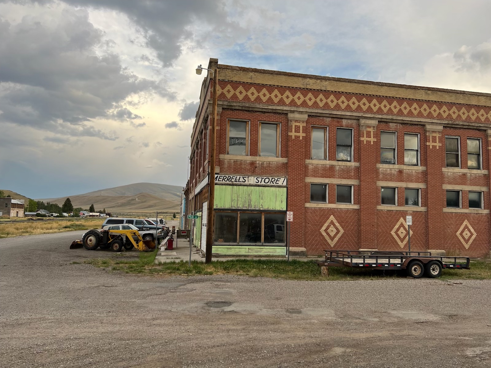
In town, another group of southbounders was already set up at the hotel with a bubble of northbounders, and some Great Divide bikers. This was our first opportunity to hang out in town with the northbounders so we shared intel about the miles ahead, best town food, and craziest trail stories. We ate a great dinner at Peat’s Steakhouse and walked home in a raging dust storm, glad we weren’t caught on the trail in the gritty wind. Lima is an old railroad stop town with some cool western buildings and not much railroad traffic. The din of I15 traffic can be heard from anywhere in town, while the buildings on the old highway and railroad slowly fade.
We are taking a short detour in the next stretch to go through Island Park, crossing the Henry’s Fork on our way into Yellowstone. We’ll be crossing 1000 miles, finishing the Montana-Idaho section of the CDT (the largest of the trail), and starting the Wyoming section which is only 500 miles. Lots of great milestones ahead and about 2000 more miles to do before the snow falls!
-Clay “Woodward” Jacobson

Leave A Comment