Project Name: Kiwah Meadows
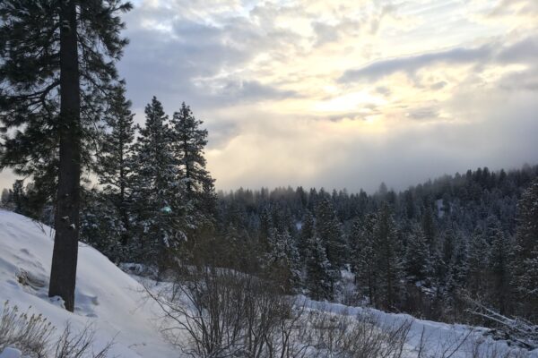
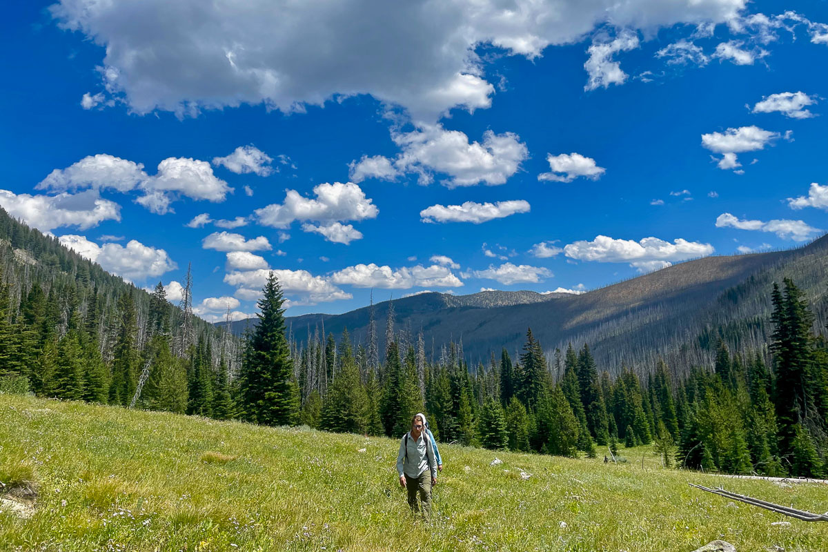
On the west side of the Frank Church-River of No Return Wilderness, volunteers will spend a week in the backcountry clearing the upper Indian Creek Trail. This trail follows the creek through meadows and hot springs and sits below several peaks of the Salmon River Mountains. It’s a long way in but this beautiful destination is worth the journey!
The crew will start hiking down from the Meadow Creek Lookout Road near Mule Hill (8346’). It’s a steep but relatively short journey down the hill to our planned base camp at Kiwah Meadows along Indian Creek. The crew will be working in either direction from camp. A slide just east of the meadows has blocked about 200 feet of trail, and to the east lots of downfall is blocking the trail.
Because of the amount of downfall expected in this area, this is an ambitious project! We can expect to clear tons of trees and not get super far and that’s ok. All work accomplished chips away at keeping these important trails open! An ITA crew will be working from the bottom up earlier in the spring and ITA is planning on returning next year to keep working here. Other partner groups are working in the area as well.
Project information is subject to change. Crew leaders will communicate via email. Failure to respond to your crew leader may result in being dropped from the project. See our FAQs, reach out to your crew leader, or contact ITA staff at trails@idahotrailsassociation.org if you have questions.
Trails: Indian Creek Trail #225
Itinerary: This is a Sunday-Saturday weeklong project. Sunday– Backpack into the base camp. Work clearing trail Monday-Friday. A day off midweek to relax and explore. Saturday, pack stock will come to bring gear back up the hill to the trailhead.
Food Provided by ITA: No
Crew Leader: Gregg Rettschlag and Alisa Rettschlag
Estimated Drive Time from Closest Town: 4 hours from Cascade
Trail Map: Click for trail map and elevation profile
Refundable deposit: $50
Why do I need to pay a deposit? We’ve had trouble with people backing out of trips at the last minute which can really affect the productivity of the overall project. By charging a refundable fee, volunteers are less likely to cancel their reservation. Refunds will not be given to volunteers that do not show up or cancel their reservation. Exceptions will be made for medical reasons or unforeseen circumstances. Volunteers can choose to donate the deposit to ITA. All donations are tax-deductible and will go towards maintaining trails throughout Idaho. If you require assistance in paying for this fee, please contact us at trails@idahotrailsassociation.org and we will waive the cost.
Difficulty Rating
You should have experience with backpacking and be in good hiking condition with broken-in and tested gear. This is a remote backcountry project so injuries such as sprains and blisters or even extreme fatigue from not being properly conditioned can quickly become a big safety issue. If you are unsure about the proper gear or about preparing for a trip, please reach out to trails@idahotrailsassociation.org.
If having the right gear to be safe and comfortable is a limiting factor, volunteers may apply for scholarships to purchase gear they need through the Splattski Outdoor Access Fund.


Volunteer Spots Available: 2 of 10
If there are no volunteer spots available, click “Sign Up” to get on our waitlist for this project!
Waitlist Signups: 0