
Our Trail Spotlight highlights day trips to multi-day hikes across Idaho. Trail conditions can change quickly- swollen rivers can become impassable, windstorms can knock trees down across trails, and snow can come earlier than expected. Please take these recommendations as a jumping off place and do additional research to understand current conditions and keep yourself safe if you choose to hike this trail. Physical guidebooks and maps are always good to have or check out some online resources like Alltrails.com for updated trail reports. If your trip is as awesome as you hope it will be, please share photos and feedback!
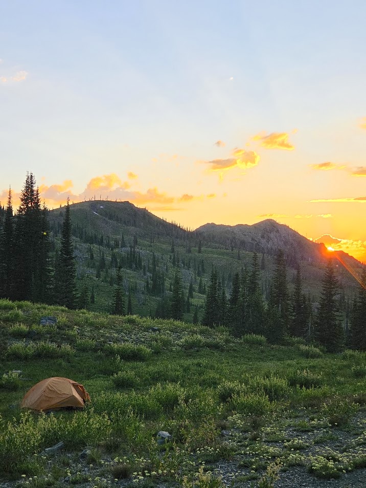
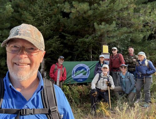
Photo by Melanie Vining
Trail Spotlight: Echols Ridge #187; Twin Lakes Creek #328, Twin Lakes #361
Recommended by: Melanie Vining, ITA Executive Director
Duration: Day Hike or Multi-day
Area: Payette National Forest, Rapid River drainage
Difficulty Rating: 3, with steady climbing and descending and little flat ground, this hike is more difficult than some, but there are sections of gentle gradient through shaded forest.
Road Considerations: Paved road much of the way from Council, Idaho, but at Bear, Idaho the road turns to gravel and then beyond to a native surface, rough road for the last eight miles to the trailhead (please travel very slowly through the community of Bear as a courtesy to local residents). A 4WD is advised, especially for the stretch between Smith Mountain and the trailhead.
Take Highway 95 to Council, then veer northwest from downtown Council out the Council-Cuprum Road for approximately 27 miles. Continue north at Bear on Landore Road (don’t veer left toward Cuprum at the junction). Travel 4.8 miles, then turn left on Forest Road 105, following the signs for Black Lake. In 1.7 miles, turn right onto Black Lake Road. Follow the road for about 7.5 miles to the trailhead. This trailhead serves three trails; the Echols Ridge Trail leaves the Black Lake Road about 100 feet north of the trailhead parking, headed east. There is parking for 4-5 vehicles at the trailhead but no available water and sparse tent sites for anyone looking to camp at the trailhead. The best camping (dry) is about a mile before the trailhead in a flat area on the east side of the road, or at Black Lake, about 8 miles past the trailhead to the north.
Total hiking miles: About 7.5 miles one way to Twin Lakes via the Echols Ridge, Twin Lakes Creek, and Twin Lakes trails.
The Hike: This route is an ideal mid-summer to fall hike; because of the high elevation and snowpack, the road to the trailhead rarely opens up before early July. There are two creek crossings in the first 1.5 miles from the trailhead, but after that the next available water is about 5 miles in, at Echols Basin, so plan accordingly.
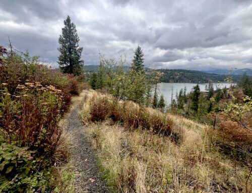
The trail starts out descending to Granite Creek, then generally sidehills for the next few miles until climbing to a ridge and descending into Echols Basin. Big views of the southern Seven Devils and the Rapid River drainage abound, as do slopes of wildflowers! Note on a day hike: the descent over the first mile of trail from the trailhead can make for a long, hot walk out at the end of the day, so plan accordingly.
The Echols Ridge Trail turns north/downhill on an open ridge at the junction with the Twin Lakes Creek Trail. Be sure to turn south and take the Twin Lakes Creek Trail here. The trail tread is faint on this section, so bring a map for navigation. The trail heads 1 mile south, eventually dropping into the Twin Lakes Basin and meeting the short Twin Lakes Trail, which will head west and take you to the lakes.
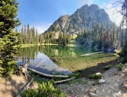
There is an old hunting camp at the lakes, but it sits between the small and big lake and while it’s shady and flat and will accommodate several tents, if one wants a bigger view of the larger lake, head cross country to the south, across the small creek and toward the big lake. There are several old campsites visible and you can find space for a tent.
The lake shores are generally pretty brushy here; the best access to the larger lake is on the south end. For fishing, one can work the shores but a float tube is ideal.
These lakes are usually quiet and have few visitors compared to the nearby Seven Devils loop trail lakes. Enjoy a scenic trail and solitude at the head of the Rapid River drainage!
An Idaho Trails Association project is planned August 5-9, 2026 to clear the last four miles to the lake. Learn more and join our crew here!
Places to camp along the way: There are several developed campgrounds in the area. Lafferty Campground is about halfway between Council and the trailhead and while it is lower elevation, it has good shade. Huckleberry Campground is about a mile northeast of the turnoff from the Landore/Forest Road 105 junction and is cool and shady, located along Bear Creek.
Things to consider: Please check road and weather conditions before making this trip. The road often still has snowdrifts in the last mile before the trailhead into July. The high elevation of this area can also mean intense summer thunderstorms and cold, wet fall storms.
Fun places to visit on your way in or out: On the way home, grab pizza or a burger at Shy Simons or Dad’s Place restaurants in Council, or ice cream at the Baker’s Pantry or Council Mountain Coffee. Council is the last place to grab gas and groceries on the way to the trailhead as well. The town of Cambridge also has a few great options.
More info about this hike: Not on all trails but you can find route on Gaia with no info included.
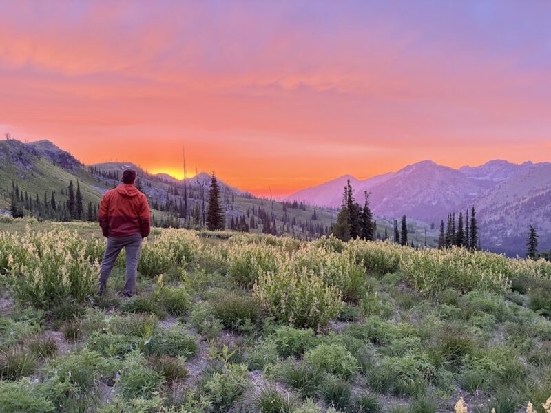
Photo by Karen Lubcke
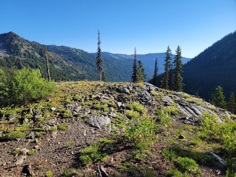
Photo by Colleen Dibble
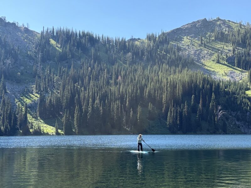
Photo by Karen Lubcke
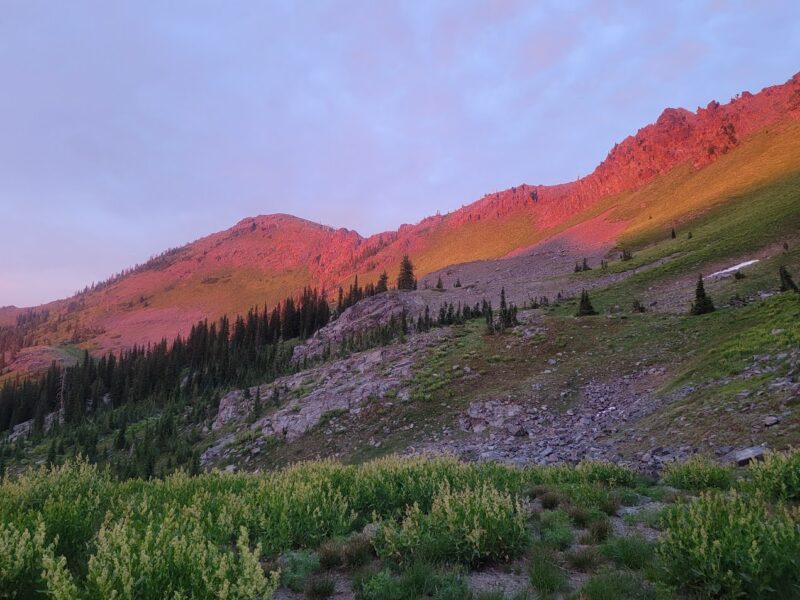
Photo by Colleen Dibble
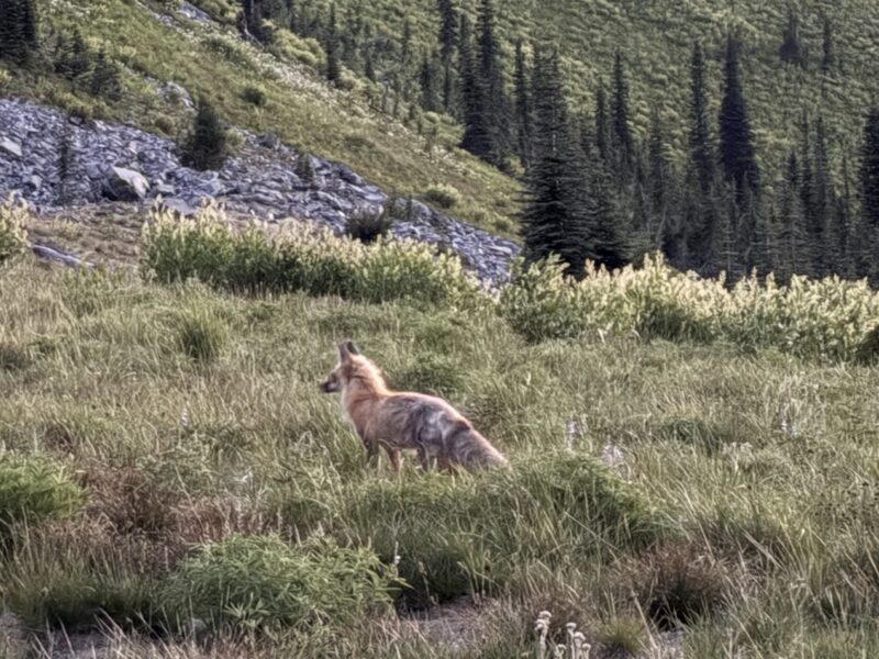
Photo by Karen Lubcke
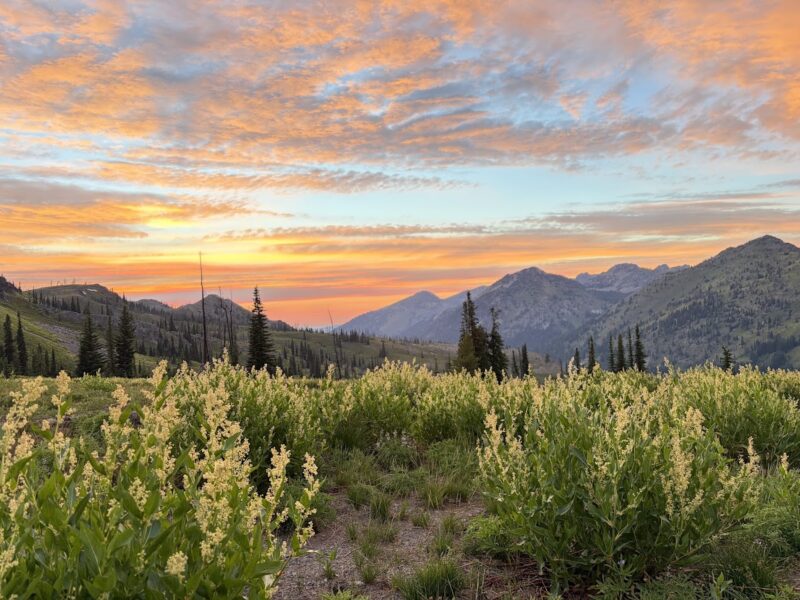
Photo by Karen Lubcke
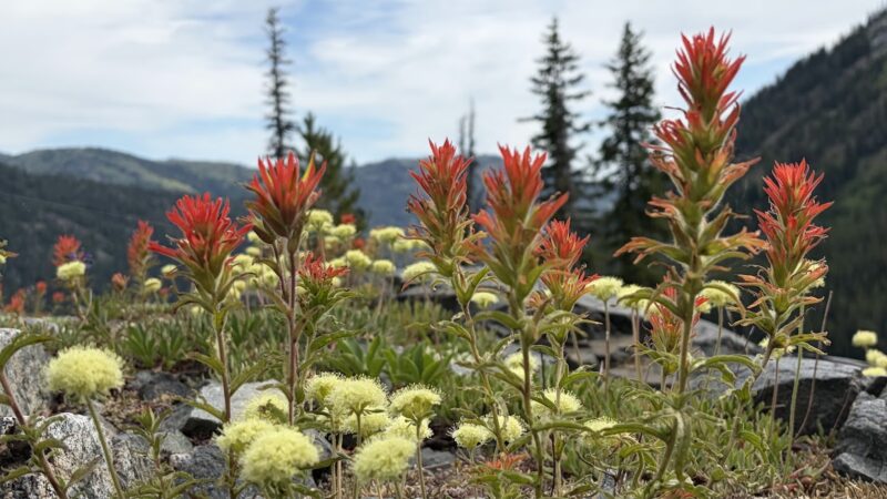
Photo by Karen Lubcke
Leave A Comment