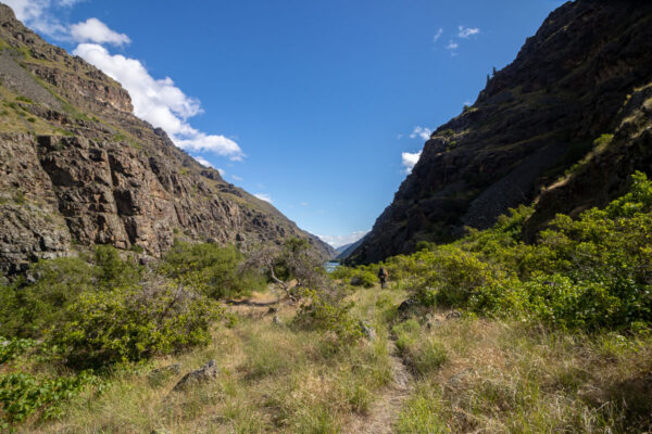
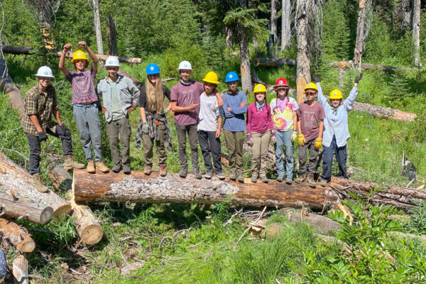
Join us on National Public Lands Day to work up the East Fork Boulder Creek Trail. Starting at the lower end near the Katka Face road, this trail climbs high, ending at Middle Mountain (elevation 6220’). This trail is in a scenic area with lots of history and an old mining settlement. We’ll work the first few miles of the trail as it follows the creek, removing logs and brush as well as tread work as needed.
East Fork Boulder Trail climbs up to near Divide Lake where ITA will be working on a project earlier this season. This is a great area for folks looking for day hikes or backpacking trips into the Cabinet Mountains.
Project information is subject to change. Crew leaders will communicate via email. Failure to respond to your crew leader may result in being dropped from the project. See our FAQs, reach out to your crew leader, or contact ITA staff at trails@idahotrailsassociation.org if you have questions.
Trails: East Fork Boulder #136
Itinerary: One-day project, the crew leader will specify the meeting time & place in their pre-trip emails.
Food Provided by ITA: No
Crew Leader: Howard Shay
Estimated Drive Time from Closest Town: 1 hour from Bonners Ferry
Trail Map: Click for trail map and elevation profile
Difficulty Rating


Volunteer Spots Available: 7 of 15
If there are no volunteer spots available, click “Sign Up” to get on our waitlist for this project!


