Project Name: Sixteen to One Creek Bridge Construction – Youth
Dates: August 7-9
ITA's Youth Trail Crew Program provides opportunities for youth ages 14-18 to learn about the outdoors while building and maintaining hiking trails in a safe, teamwork-oriented environment.
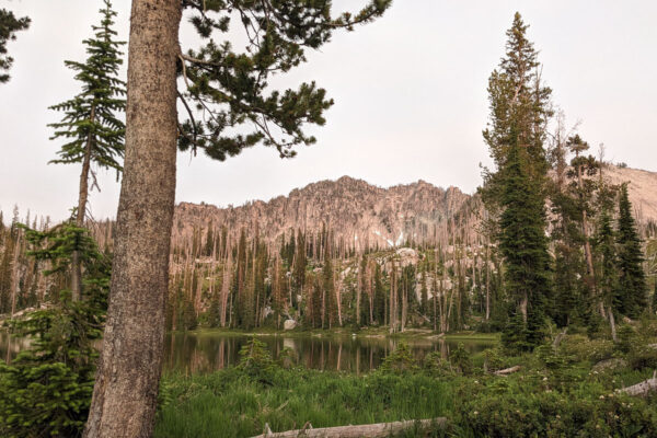
ITA youth volunteers and partners will be working together to replace trail bridges on the Sixteen to One Trail in the Boise National Forest. South of Warm Lake, four bridges burned in the first two miles during the 2024 Goat Fire. This trail is used by all user groups so having bridges is much appreciated not just from hikers, but also the two wheeled and four-legged communities that would frequent these trails!
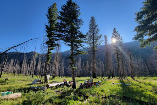
This is a beautiful drive along the South Fork Salmon River that climbs over passes and through meadows to the destination at the end of Stolle Meadows Road. We'll car camp here and hike up to 1.5 miles one way into the project site
More info in the Hikers Guide to McCall and Cascade
ITA's youth projects are completely free for volunteers to join, and all food is provided. Gear can be borrowed from ITA if needed with advance notice, or youth may apply for scholarships to purchase gear they need through the Splattski Outdoor Access Fund.
Project information is subject to change. Crew leaders will communicate via email. Failure to respond to your crew leader may result in being dropped from the project. See our FAQs, reach out to your crew leader, or contact ITA staff at trails@idahotrailsassociation.org if you have questions.
Trails: Sixteen to One Trail
Itinerary: This is a 3-day Friday to Sunday Project.
Food Provided by ITA: Yes
Gear Packing List: Car Camping
Crew Leader: Barry Miller
Estimated Drive Time from Closest Town: 1 hour 30 min from Cascade
Trail Map: Click for trail map and elevation profile
Difficulty Rating


Volunteer Spots Available: 0 of 15
If there are no volunteer spots available, click “Sign Up” to get on our waitlist for this project!
Waitlist Signups: 3