
Our Trail Spotlight highlights day trips to multi-day hikes across Idaho. Trail conditions can change quickly- swollen rivers can become impassable, windstorms can knock trees down across trails, and snow can come earlier than expected. Please take these recommendations as a jumping off place and do additional research to understand current conditions and keep yourself safe if you choose to hike this trail. Physical guidebooks and maps are always good to have or check out some online resources like Alltrails.com for updated trail reports. If your trip is as awesome as you hope it will be, please share photos and feedback!
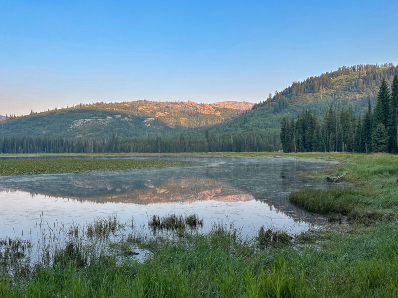
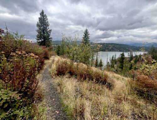
Photo by Kelly Hewes
Trail Spotlight: Upper Payette Lake Connector (#337) and Deep Creek Trail (#336)
Recommended by: Kelly Hewes, Communications Director
Duration: Day Hike
Area: Payette National Forest
Difficulty Rating: 3 out of 5, this trail descends steadily from the Upper Payette Lake campground and can be a little steep and slippery coming down the other side of the loop through the Group Campground.
Road Considerations: The dirt road to the Upper Payette Lake Campground is suitable for all cars. Directions: travel approximately 16 miles north of McCall on the paved Warren Wagon Road (21). Turn left (west) onto Forest Road #495 (sign for campground) at the outlet of Upper Payette Lake and continue for approximately one mile.
Total hiking miles: Just over 4 miles to do the full loop.
The Hike: This is a great little loop for a day hike, with a steady climb through the forest and beautiful views of Upper Payette Lake along the way. Keep an eye out for huckleberries in the summer! You can start the loop from either the Upper Payette Lake Campground or the Upper Payette Lake Group Campground, but we recommend starting at the main campground and hiking clockwise for a more gradual climb.
From the main campground entrance, cross the road to the Upper Payette Lake Connector Trail (#337). The mostly shaded trail climbs steadily for about two miles and 1,200 feet to the junction with Deep Creek Trail (#336).
Turn right to continue the loop, or turn left if you’re feeling adventurous and hike about three miles farther to Granite Lake.
Continuing the loop, you’ll pass the Cougar Creek Trail (#114) junction after about a half mile. Stay on Deep Creek Trail as it winds downhill through an open meadow. Tall grass can obscure the tread. Keep an eye out for cairns to help you stay on route.
After a short creek crossing—look for the low log rather than the one perched high above the creek!—the trail continues on a steep descent toward the Upper Payette Lake Group Campground. From there, it’s about a quarter-mile walk along the road back to the main campground. There are some nice little beaches next to the campground to take a dip in the lake after a hot hike!
With shaded forest, mountain views, a little creek crossing, and plenty of opportunities to explore farther, this loop makes for a fun adventure when you’re camping at Upper Payette Lake or looking for a day hike out of McCall.
An ITA trail crew cleared the loop this past summer so it’s in great shape!
Places to camp along the way: There are 12 first-come, first served sites at Upper Payette Lake as well as 8 reservable sites and a group site. There are numerous dispersed camp spots around the lake as well.
Fun places to visit on your way in or out: Ice cream is welcome treat in McCall after a hot hike!
More info about this hike: Not on all trails but you can find the route on Gaia.
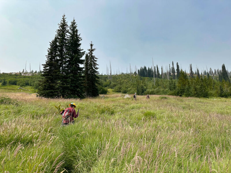
Photo by Brendan Blowers De León
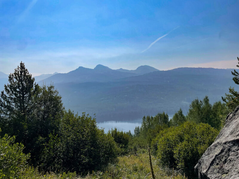
Photo by Kelly Hewes
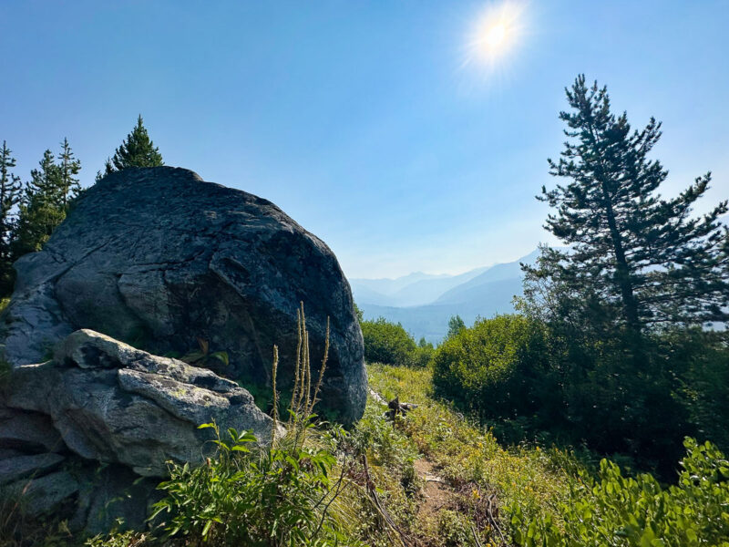
Photo by Mark Hewes
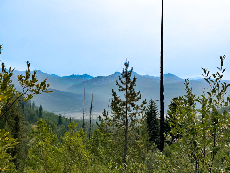
Photo by Kelly Hewes
Leave A Comment