Project Name: Hibbs Ranch
Project Dates: March 21-27
There are TWO waivers for you to sign please! The Jet Boat one here – Hells Canyon Adventures
And the ITA one at the sign up button at the bottom of the page! Thank you!
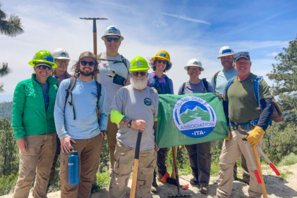
This project is in partnership with the Idaho Trails Association (ITA), Selway Bitterroot Frank Church Foundation (SBFC)and the College of Idaho Outdoor Program.
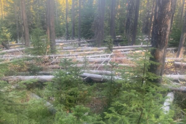
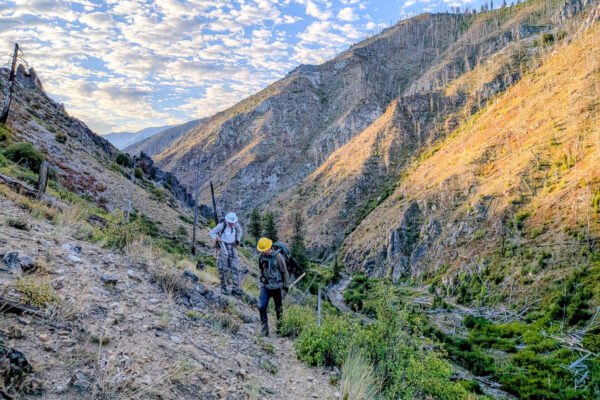
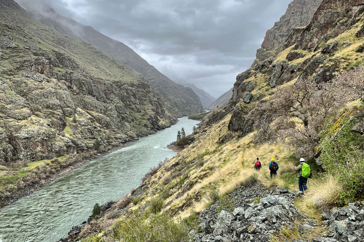
On the border between Oregon and Idaho, the Snake River winds through Hells Canyon, the deepest canyon in North America. We'll take a jet boat with all our gear from Hells Canyon Dam downstream, then swap out with a BSU crew to camp along the river at Granite Creek. This is a primitive backcountry campsite, with an incredible view of the surrounding mountains. Students, ITA, and SBFC crew leaders, will spend the week working on the Granite Creek Trail and Devils Farm Trail, which climb up into the Seven Devils Mountains. Hells Canyon has an incredible history, diverse wildlife, and remarkable scenery.
ITA has been working on all the creek trails on the Idaho side of Hells Canyon for years, from the bottom along the river and starting from high in the Seven Devils working down. The Snake River trail is popular with both boaters and backpackers.
Project information is subject to change. See our FAQs, reach out to your crew leader, or contact ITA staff at trails@idahotrailsassociation.org if you have questions.
Trails: Little Granite Creek Trail #112 and Devils Farm Trail #114
Itinerary: This is a Saturday – Friday weeklong project, Saturday morning, meeting the jet boat at Hells Canyon Dam and riding into Granite Creek. Project work Sunday – Thursday, with a day off sometime during the week to relax and explore. Jet boat returns on Friday to bring us back to civilization!
Gear Packing List: Gear Checklist for Backpacking Projects
Estimated Drive Time from Closest Town: 3 hours from Caldwell
Trail Map: Click for trail map and elevation profile
Difficulty Rating


Volunteer Spots Available: 0 of 8
If there are no volunteer spots available, click “Sign Up” to get on our waitlist for this project!
Waitlist Signups: 0