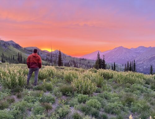
Our Trail Spotlight highlights day trips to multi-day hikes across Idaho. Trail conditions can change quickly- swollen rivers can become impassable, windstorms can knock trees down across trails, and snow can come earlier than expected. Please take these recommendations as a jumping off place and do additional research to understand current conditions and keep yourself safe if you choose to hike this trail. Physical guidebooks and maps are always good to have or check out some online resources like Alltrails.com for updated trail reports. If your trip is as awesome as you hope it will be, please share photos and feedback!

Photo courtesy of BSU
Trail: Allison Creek #514, Eckels Creek #223,
Duration: Day Hike
Area: Payette National Forest, Hells Canyon
Difficulty Rating: 3.5/5- 2100 feet of elevation gain, with some gradual inclines on the Eckels Trail and some shorter, but very steep sections of the Allison Creek Trail with a nice, flatter section in between!
Road Considerations: A paved but winding road. Very limited cell service; faint signal near Oxbow Dam.
Total hiking miles: 7.6 miles
The Hike:
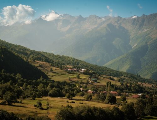
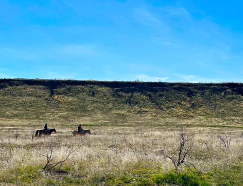
A short shuttle or one mile of road walking is needed to start. At the Eckels Creek trailhead, just south of Big Bar dispersed camping area, the trail follows the side hill above the creek and makes its way up in elevation. 1.9 miles from the road, after 1,795 feet of elevation gain, the trail forks; head north on Eckels Creek- Kinney Creek Trail #222. For the next 2.5 miles, the trail stays high, winding around the hills through pockets of forested areas. You could see elk or deer up here. The last two miles down Allison Creek descend very steeply at first, and then less so the last mile along the creek. Mountain goats have been spotted on the same cliffs that rock climbers frequent near the end. This hike could be extended to the north, via Kinney Creek Trail #221. All along the hike are incredible views of Hells Canyon.
Places to camp along the way: Big Bar is a popular dispersed campground on the Snake River, right across from the Allison Creek Trailhead. Other Idaho Power campsites are along Hells Canyon Road.
Things to consider: The trail could be brushy and the tread is faint and in some sections very difficult to find as of early April 2024. The upper section could have some downed trees to scramble over. However, ITA will be heading there April 12-16 to work on improving some of the more difficult-to-find sections! Watch for ticks and poison ivy. This is a perfect early-season spring trip.
Fun places to visit on your way in or out: Drive 9.5 miles further north up the road to Hells Canyon Dam and Visitors Center. Book a jet boat trip with ITA supporters, Hells Canyon Adventures. There is also the Deep Creek Trail #219, just south of Hells Canyon Dam. This trail climbs steeply the first few miles, but then enters beautiful Deep Creek, with big views of Hells Canyon and the southern end of the Seven Devils. On the way home, grab a milkshake at the Gateway Store, just southwest of Brownlee Reservoir on the way back to Cambridge.
")
Photo courtesy Melanie Vining

Photo courtesy of BSU

Photo courtesy of BSU

Photo courtesy Kelly Hewes
")
Photo courtesy Melanie Vining

Leave A Comment